Berlin Wall 1986
Many Americans had the misperception during the Cold War that the Federal Republic of West Germany and the German Democratic Republic (East Germany) faced each other with a divided Berlin in between them.
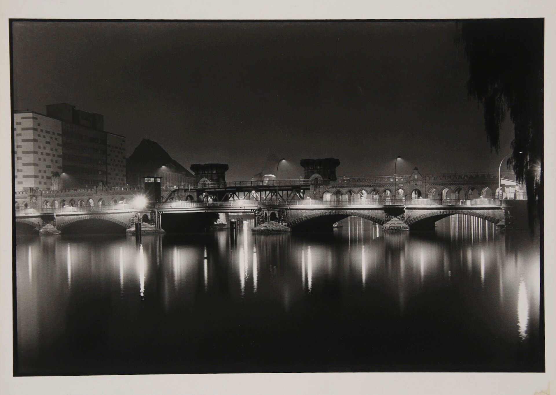
Not so. The entire city of Berlin was located 110 miles inside East Germany. The Western half of the city, politically part of West Germany and aligned with the NATO powers, was nearly completely encircled by the Berlin Wall. Where that barricade didn’t separate the city, the River Spree did.
West Berliners who wished to drive those miles to visit family or friends back in the West had to gain written permission and check in at timed posts along the way.
Apartment buildings facing the wall on the East side had barred windows to prevent someone from defecting by jumping over into West Berlin. Many buildings still bore the bullet scars of the ferocious Battle of Berlin when the Red Army put the final nail into the coffin of Nazi Germany.
West Berliners erected a memorial garden to those from the East who had been shot and killed trying to cross the barricade to freedom. The dates of their deaths, and their names (when known) were posted on crosses memorializing them. Some of the crosses bore a simple unbekannte or “unknown” with the date of when the shots were fired and when the dying screams of the victims were heard.
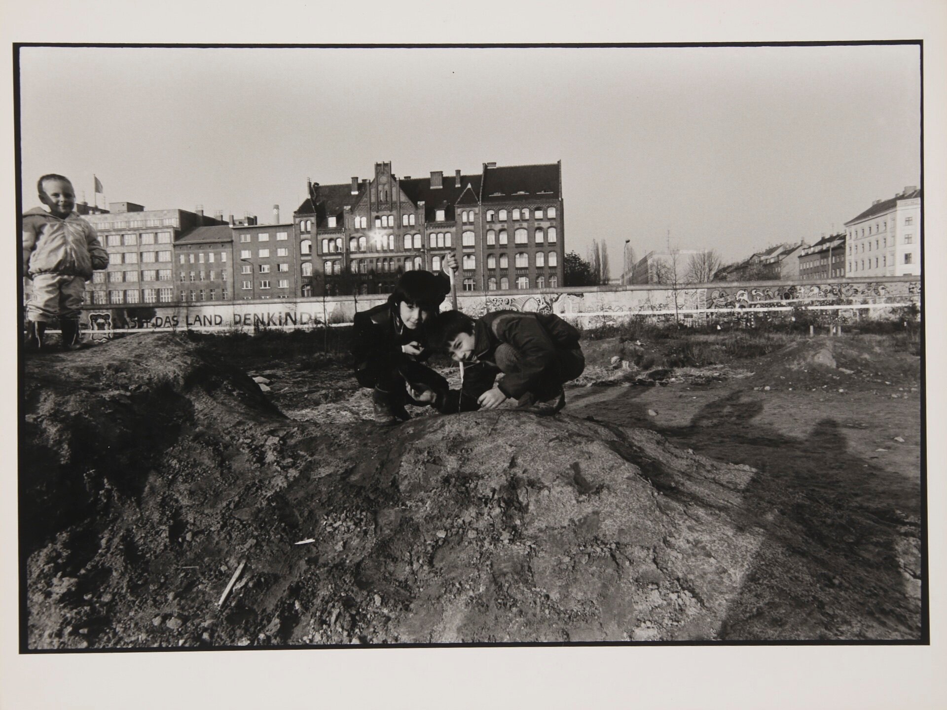
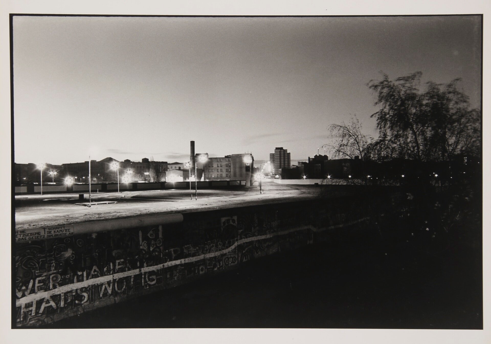
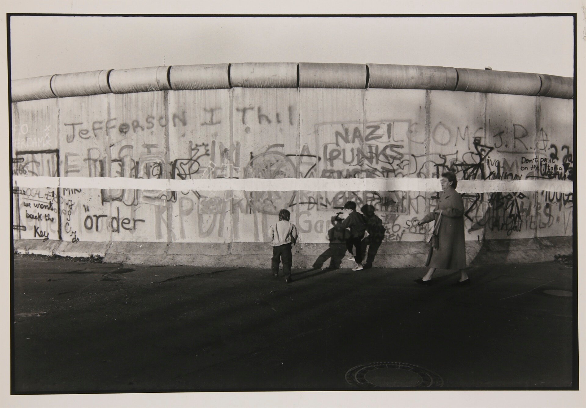
I spent 12 days in October of 1986 walking and photographing the Wall, by day, by night and just before the dawn. I came away with the feeling that World War II would have to be several generations beyond living memory before the structure would come down.
I was wrong, as just three years later the German people rose up and tore it down themselves.
Michael Anton
Summer 2018